

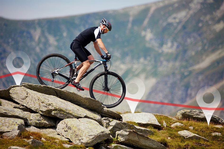
GPS TrackMaker Pro® 5.1 for Windows
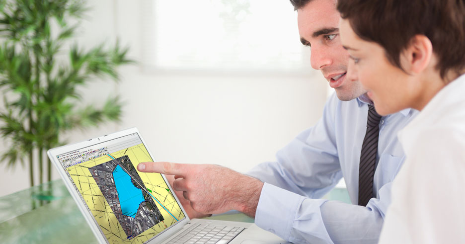
Capture satellite images and create perfect georeferenced mosaics for offline use. No more GIS complexity, with difficult geodetic definitions. Use the program like Microsoft Paint to create high definition georeferenced vector maps over satellite images. All very easy and quick to use. Calculte areas, distances and export data to AutoCad®, ArcView®, QGIS, Excel® and others. Integration with Google Maps® and Google Earth®. Compatible with Windows 10 and 11.


GPS TrackMaker® Free
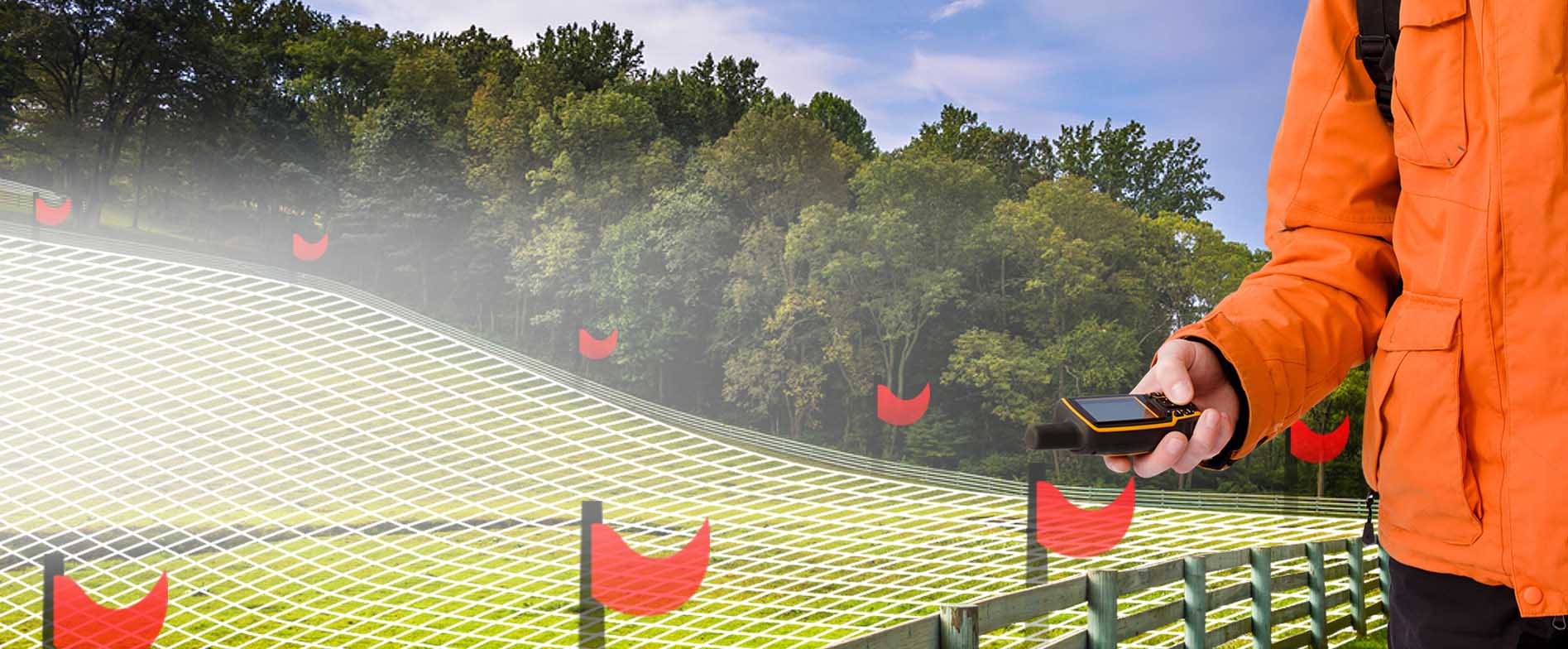
Most complete free program for GPS devices Compatible with more than 160 GPS models Support for Garmin, Magellan and others. Easily create your own maps. Support for vector maps and images. Vehicle Tracking and AVL Completely free. No Adware, Spyware, ...
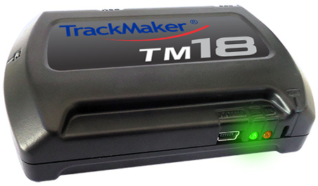
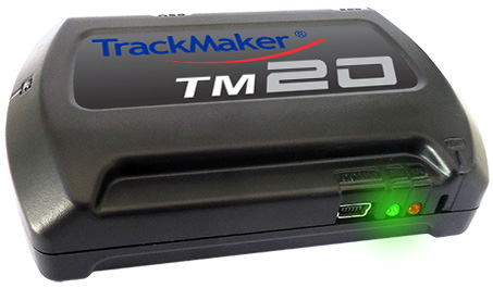
GPS Trackers